Search This Blog

Thursday, October 2, 2014

Wards Island Park

Wards Island Park is part of the Wards Island-Randalls Island landmass, which used to be two islands in the Harlem River at the intersection of Manhattan, Queens and the Bronx but were combined into one by landfill decades ago. Both names persist.

It's not clear to me what parts of the island(s) are officially parkland, but the name "Wards Island Park" is associated with the southern section and "Randalls Island Park" with the big sports and recreation facilities in the northern part. This post describes my exploration of the southern half of the 480-acre combined island.

I walked over from Harlem via the Wards Island Bridge, also called the 103rd Street Footbridge (though you actually approach it from 102nd or 105th Streets).

wards island bridge

The bridge is for pedestrians and bicycles only. Walking across it on the day of a bike event can be hazardous.
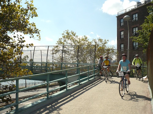
wards island bridge

Looking down onto the Harlem River Drive I couldn't help grabbing a shot of the on-road signage. Exactly what bridge this warns drivers of, I'm not sure.
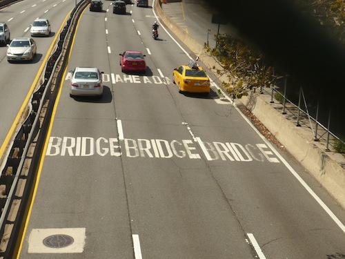
wards island bridge

The crossing also provides a pretty good look at Mill Rock, a tiny eight-acre island with an interesting (and explosive) history. Technically it's a park. Whether this writer will ever uncover a way to get there, only time will tell.
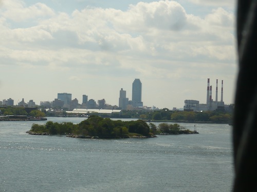
wards island bridge mill rock

I arrived on Wards Island and turned south onto a really nice tree-lined waterfront walkway.
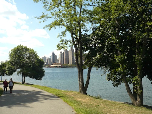
wards island park

With apologies to the artist: This has to be one of the most unappealing – or at least out-of-place-looking – public art installations I've ever come across.

wards island park

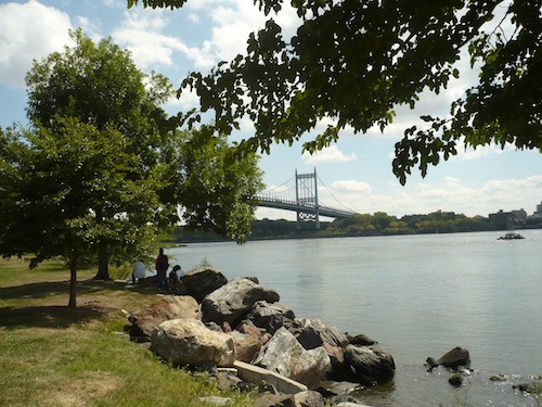
A little further along, as I curved left and began to walk east along the southern coast the island, the Triborough Bridge (recently renamed the Robert F. Kennedy Bridge) came into view. Pictured is the span that crosses to Queens.
triborough bridge from wards island

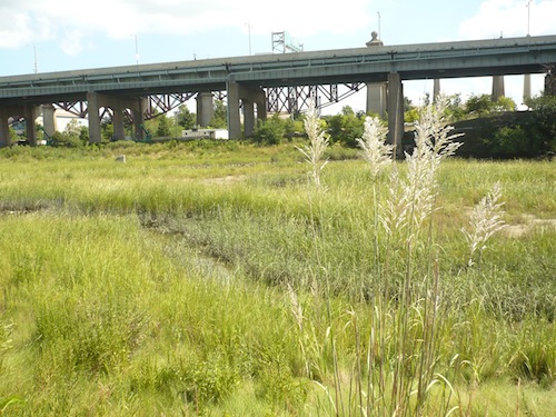
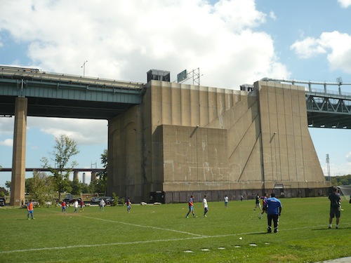
Next I came to a big expanse of soccer fields pushed up against a gigantic Triborough Bridge support structure.
wards island park

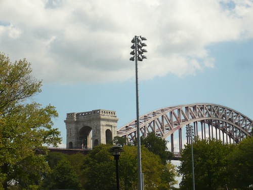
Bridges are everywhere here. I zoomed in to get a good look at the handsome archway of the Hell Gate Bridge. (See Astoria Park for a look at it from the Queens side.)
hell gate bridge from wards island park

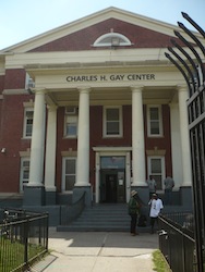
There's a strong presence of community services here on Wards Island, including the wards island park volunteers of americaVolunteers of America's Charles H. Gay Shelter Care Center for Men, and Help USA's Wards Island Supportive Employment Center.
Also, dominating the landscape of a big hunk of the island is the Manhattan Psychiatric Center, the beige building visible to the right in the photo below. I'd seen this building any number of times from across the water in Manhattan, specifically from the car while driving down the Harlem River Drive, but never knew what it was.

According to Wikipedia, it was once the largest psychiatric hospital in the world, though today it houses only a couple of hundred patients. The size makes it plausible that, as Wikipedia relates, it once had 4,400 beds. If a building that can house that many people now holds only some 200, imagine the huge closed-off parts. Almost makes me want to believe in ghosts. The hospital (though not this building) dates back to 1848 when, before the Ellis Island era, immigrants were routed through Wards Island – another piece of interesting New York City history stirred up by a visit to Wards Island.
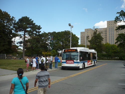
wards island park

The Help USA building sits behind a huge grassy expanse, a "waste of space" unimaginable in Manhattan.
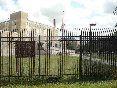
wards island park help usa

Speaking of ghosts, an eerie landscape presents itself under this Triborough Bridge ramp. While this is far from what anyone would think of as parkland, it impressed itself on my senses in a big way.
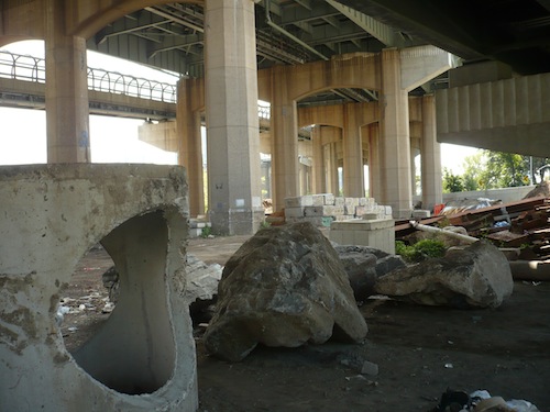
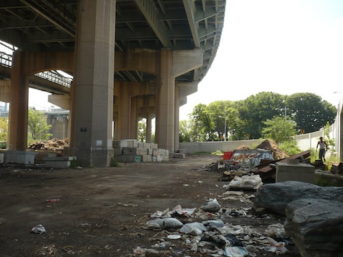
wards island park
wards island park

Walking north up the road through the center of the island took me past this Manhattan Forestry site. I can't find much information on this, but I'm guessing it's a place where plants meant for planting in Manhattan are stored and/or cultivated.
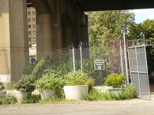
wards island park manhattan forestry

But before we return to proper parkland, here's one more image of a bridge-related structure. Seeing this reminded me that Robert Moses in his capacity as head of the Triborough Bridge and Tunnel Authority – which was and still is named after this bridge, after all, even though it now manages a number of other major crossings – used to have his headquarters here on the island. Though the Authority is now called "MTA Bridges and Tunnels," it is still, according to Wikipedia, officially the "Triborough Bridge and Tunnel Authority."
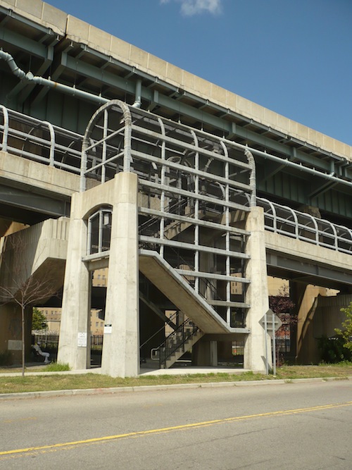
wards island park

Where exactly you used to be able to find ol' Robert Moses squirreled away, I couldn't say. (If you know, please add a comment below!) Meanwhile, here's something he didn't live to see – and probably wouldn't have had the slightest interest in:
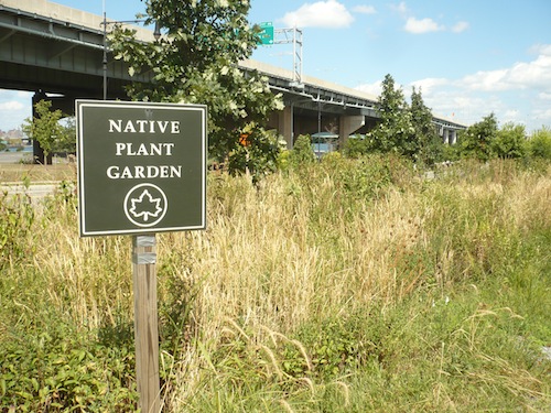
wards island park

What a joy to come upon this while walking up the hot and more-or-less barren road. And I wasn't the only one enjoying the native plants of the Randalls Island Freshwater Wetland, once part of the channel that separated Wards and Randalls Islands.
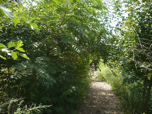
wards island park
wards island park

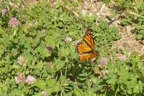
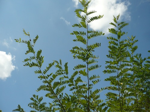
Beginning in 1992 the Randalls Island Sports Foundation (RISF) and the Parks Department's Natural Resources Group (NRG) restored a small area of wetland here, planting native species that provide feeding for insects (like grasshoppers, dragonflies, and the butterfly shown above), birds, even muskrats in the nearby salt marsh. The wetland is supported by water from storm drains located just to the south.
wards island park
wards island park

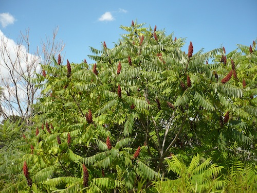
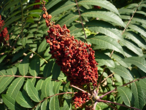
The red growth above is a burst of sumac berries.

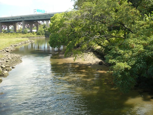
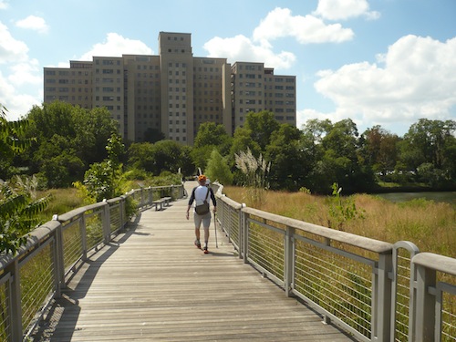
The path through the Native Plant Garden dead-ends, but on retracing my steps, crossing the road and heading up the paved path – again fighting zooming bicycles for a short stretch – I quickly came to a footbridge that leads you across the beautiful salt marsh, the true highlight of my day.
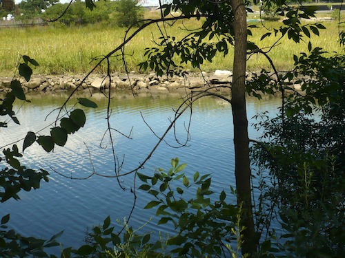
wards island park
wards island park
wards island park
wards island park
wards island park

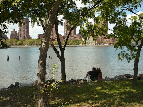
I left the salt marsh and walked south along the coast, back towards the bridge, finding more vistas and surprises along the way.

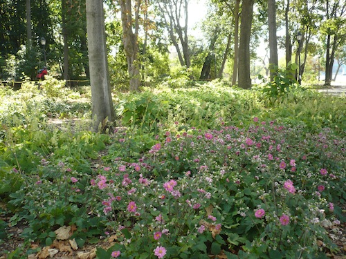
wards island park
wards island park

Humans, of course.

wards island park

But also horses. Did you know the NYC Riding Academy was on Wards Island? I didn't.
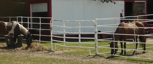
wards island park

With all that, I still have to plan another visit, this time to delve into the combined island's northern, Randalls Island section. Exactly what counts as "park" in this little-explored part of New York City is unclear to me. But it's full of unusual and surprisingly beautiful spaces to investigate. Who knew? I sure didn't.

About the Author

Monday, September 22, 2014

Devoe Park

Five-acre Devoe Park in the University Heights section of The Bronx dates to 1913-1915, when land acquired by the city beginning in 1885 was laid out with trees, curving paths, lawns, bushes, an iron pipe fence – you know, the usual stuff you have in parks – along with, according to the Parks Department website, thousands of tulip bulbs.

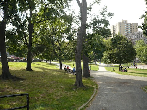
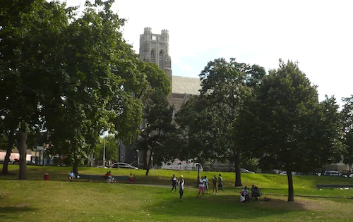
Tulips make perfect sense here since the original First Dutch Reformed Church used to stand on the site. Built in 1705, and "said to be the oldest Bronx church with a regular ministry," its building has been replaced twice. Among many prominent names, Alice (Mrs. Edgar Allan) Poe was a member. To be truthful, on my visit I didn't notice any Dutch Reformed Church. What I noticed (and visited, but that's another story) was Saint Nicholas of Tolentine Catholic Church, nicknamed the "cathedral of The Bronx" because of its size. Here it is through the trees of the park:

devoe park saint nicholas of tolentine church

The tall trees in the next photo are pin oaks planted in 1995 during a reconstruction of the park. They make a nice change from the London plane trees Robert Moses planted all over the city. The short bushy tree on the right is, I believe, a scholar tree, also dating from 1995.

devoe park bronx pin oaks and scholar trees

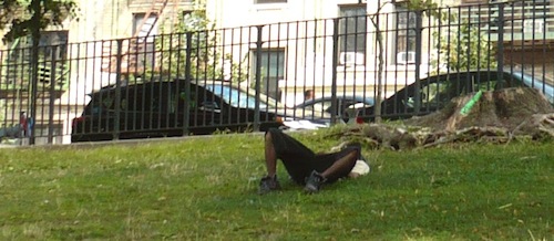
There was definitely some lying around going on in the park on the warm weekend of our visit…

devoe park bronx

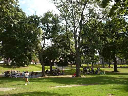
…and plenty of sitting, lounging, eating – all those "passive enjoyment" activities parks are meant for…

devoe park bronx

But there was action as well.

devoe park bronx

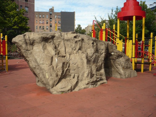
The playground itself, though, was quiet, allowing me to enjoy the sight of its vaguely walrus-shaped boulder to my heart's content.

devoe park bronx

Devoe Park is named for one of the area's prominent 17th century Dutch families (there's a Devoe Avenue as well), but the ghostly Devoes don't have a museum or a preserved manor house. Just a humble but very nice neighborhood park.

Could do worse.

Sadly and not surprisingly, this being New York City, a Google search starting with "Devoe Park" suggests "Devoe Park shooting" which turns up this news about the recent conviction in a nearby 2011 triple shooting (and double murder). Let's hope any more shooting around this pretty park is done with cameras only.

devoe park bronx

About the Author

Saturday, September 6, 2014

Poe Park

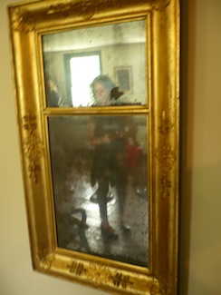
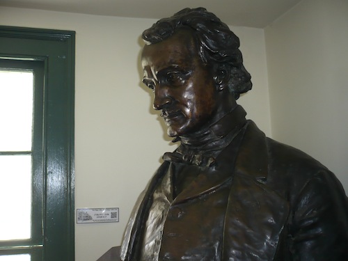
poe park poe cottageEdgar Allan Poe lived the last few years of his life in a small house in the then-rural Bronx. He'd moved there with his ailing wife in the vain hope that the country air would give her TB-wracked lungs some more breathing room. After her death in 1847 the famous but still poor writer and his mother-in-law stayed in the house until his own demise in 1849.
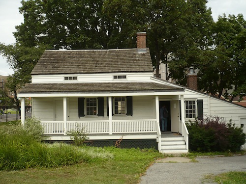
Decades passed, The Bronx urbanized, and apartment buildings crowded around the old house until its own destruction seemed inevitable. Fortunately for posterity, funds were raised to move the house, now called Poe Cottage, a few blocks away into a small park beside the Grand Concourse now known as Poe Park.

Newly restored, the house still stands there today, not just the preserved home of a famous American but a reminder of what The Bronx was like not so long ago.

A couple of the furnishings inside actually belonged to the Poes. One is the mirror (above right). Visit, then walk the neighborhood and picture the writer heading west and over the High Bridge on the lonely walks he used to take.

poe park poe cottage

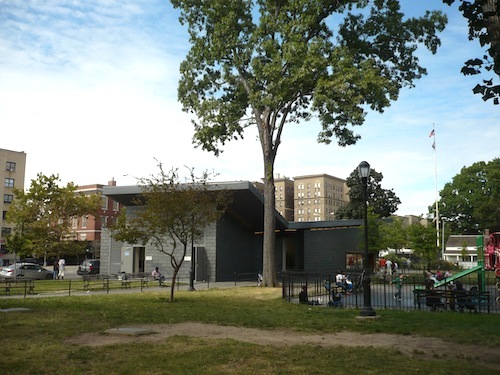
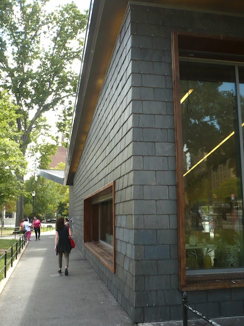
Poe Cottage is open for tours. And while you're in Poe Park, don't miss the Visitor Center, designed by Toshiko Mori. An art exhibit that happened to be in residence during our visit offered not only art but free drinks and potstickers.

As I always say – or think, anyway – you never know what you'll find when you visit New York City's far-flung parks. Sometimes even free food!

poe park poe cottage

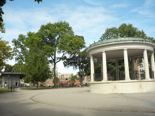
The rest of the park is unspectacular – some grass and trees, a playground, rest rooms, and a gazebo you can't get into.

poe park poe cottage

But Poe Cottage is must-visit for lovers of historic houses, literary history, or both.

poe park poe cottage

About the Author

Monday, September 1, 2014

Aqueduct Walk

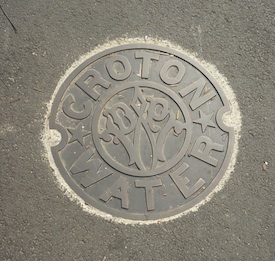
Aqueduct Walk in The Bronx is part of the Old Croton Aqueduct Trail. The trail marks the path of the Croton Aqueduct, New York City's main source of drinking water for many years, completed in 1842 and used until the 1950s.
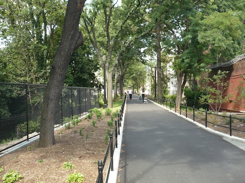
Considered as a park, the Walk resembles, conceptually, the High Line, the painfully popular converted elevated train track on the west side of Manhattan – old infrastructure adapted and repurposed.

The Old Croton Aqueduct starts north of the city in Croton, Westchester County. A gravity-fed tube built on ancient Roman principles and dropping 13 inches per mile, it runs for 41 miles, terminating in Manhattan where it deposited water in two reservoirs, one where Central Park's Great Lawn is today, the other where the main branch of the New York Public Library and Bryant Park are today.

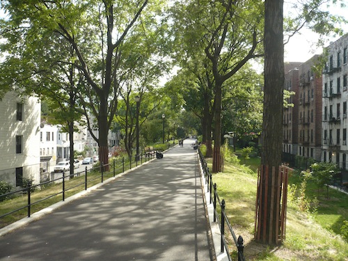
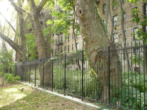
The aqueduct's existence isn't evident along its whole path in today's New York. But up in the Bronx, you can walk right along a pretty sizable length of the historic water tunnel. The brick structure to the right in the first photo below is, I think, the aqueduct itself. In the second photo, I believe we are walking on top of it. If I'm wrong, I trust some kind reader will alert me.

About the Author

Thursday, August 28, 2014

Columbus Park

I began this project four years ago with a post about Collect Pond Park in lower Manhattan, near the notorious old Five Points slum. I didn't know that part of the island too well (still don't, to be honest), and I didn't know there were a couple of other parks just a few blocks away. New York is always springing surprises on me.

I visited Columbus Park on a recent weekday afternoon. In spite of the hour, the park's three and a quarter acres were thronged with people, mostly residents of the surrounding Chinatown neighborhood.

Chinatown explains why the statue is not of Columbus, but of Sun Yat-sen, the Republic of China's first president.

Sun Yat-sen died in 1925. By that time, Mulberry Bend Park had already been open for 28 years, located, no surprise, on a site called Mulberry Bend (Mulberry Street bends there, wouldn't you know it).

Calvert Vaux himself designed the park. In 1911 the city renamed it Columbus Park, I suppose because of the Italian immigrant movement that had by that time created the adjacent Little Italy neighborhood.

No longer a neighborhood, Little Italy is a sort of Italian restaurant theme park along a couple of blocks of Mulberry Street. Neighborhoods come and go, of course. But Chinatown, by contrast, doesn't seem to be going anywhere; in fact there are now several Chinatowns in the five boroughs. The most famous one remains the Manhattan Chinatown. In Columbus Park, a bunch of men were clustered around a game table at which two men played what I think is Xiangqi (Chinese chess).

The limestone recreation center, built in 1934, is now, according to the Parks Department website, "a comfort station." The folks lounging on the upper level decks sure looked comfortable. It's a handsome building. I think Vaux would have been proud.

Unless, that is, the parks website is referring to the building pictured below, which is in fact a bathroom building near the playground:

I don't usually bother taking pictures of the playgrounds in the parks I visit. But it was interesting to see how many more adults there were in the "adult" section than there were kids in the playground on this afternoon. Of course, it was a school day, but still. There were so many people I had trouble remembering it was a weekday.

The playground covers what used to be a central grassy area, as related in this informative post on the Placematters website, a resource I only just discovered while researching this post. It quotes Jacob Riis, who had earlier devoted a chapter of his classic How the Other Half Lives to Mulberry Bend, recounting his first visit to the new park in 1900: "In my delight I walked upon the grass. It seemed as if I should never be satisfied till I had felt the sod under my feet, – sod in the Mulberry Bend!"

About the Author