Search This Blog

Sunday, November 1, 2020

Graniteville Swamp Park, Staten Island

After viewing the well-kept war memorial at Joseph Manna Park in the Mariner's Harbor section of Staten Island. we crossed Forest Avenue to peer into an inaccessible protected marsh called Graniteville Swamp Park, part of the 45-acre Graniteville Swamp area. Protected by the Harbor Herons Wildlife Refuge – a mysterious entity that covers Prall's Island, Shooter's Island, and some other spaces around the Arthur Kill – the park is, per the Parks Department, "a wonderful place to observe the natural world in a protected and undisturbed state."

Here's what we observed:

graniteville swamp park staten island new york city parks

Maybe for something to be truly protected and undisturbed, it needs to be truly inaccessible.

All photos © Critical Lens Media

Wednesday, October 28, 2020

Joseph Manna Park, Staten Island

Joseph Manna Park is a war memorial inside a small curvy triangle less than an acre in size, by the Staten Island Expressway and near the Old Place Creek tidal wetlands at the island's northwest shore. It's named for Seaman First Class Radioman Joseph Manna (1924-1942), an immigrant from the Naples area who died on the Navy destroyer USS Duncan during the Battle of Cape Esperance near Guadalcanal. He grew up in this neighborhood, which is appropriately named Mariner's Harbor.

The little park is well maintained, as a war memorial should be.

joseph manna park staten island new york city parks

Also honored here are two other Navy men, Frank Busso (1921-1942), who died at the Battle of Midway, and Constantine Busso (1919-1945), killed during an attack on the USS Ticonderoga. Their memorials are marked by anchors.

joseph manna park staten island new york city parks

Plaques elsewhere in the park honor other Staten Island war dead and "the men and women of the Port of New York and New Jersey who served during World War II." (Thanks to the Parks Department website for this information.)

The park is also home to one heckuva handsome tree. (At least I think it's in this park – it was a heckuva long day, too.)

joseph manna park staten island new york city parks

All photos © Critical Lens Media

Sunday, October 11, 2020

Old Place Creek, Staten Island

With hundreds of miles of coastline, New York City has plenty of water-fronting parks. But how many of those can you visit only by boat? We found one this summer. To reach Old Place Creek – really the 70-acre Old Place Creek Tidal Wetlands Area – you have to drive to the northwest corner of Staten Island, find your way to the south-going lane of Gulf Avenue, dawdle past the National Grid headquarters, and then find a tiny dirt parking lot.

A short path leads to a small viewing platform where you can look out over the creek that winds through the wetlands.

old place creek staten island new york city parks

Before we reached the platform we startled a huge stag that bounded across the path and disappeared into the impenetrable woods – the first and only time I've ever seen a male deer in NYC. Sadly, it was much too fast to get a photo.

old place creek staten island new york city parks

Anyway, unless you have a boat, this is all there is to see here. Had you a kayak or canoe, you'd drag it to the rough launch and explore the wetlands. According to the map, you could follow the creek, twist your way for two miles, and end up in Arthur Kill, the narrow strait that separates Staten Island from New Jersey, looking up at the Goethals Bridge.

old place creek staten island new york city parks

We don't have a boat.

Not to worry, though. This was only the first stop on a daylong Staten Island excursion. More posts will follow.

All photos © Critical Lens Media

Monday, September 7, 2020

Hunter's Point South Park and Gantry Plaza State Park

Our three-borough NYC Ferry tour began with a sail from Manhattan to the new Naval Cemetery Landscape in Brooklyn. It continued in Queens at another new park, Hunter's Point South Park, which was, the Parks Department website notes, "until recently an abandoned post-industrial area in Long Island City."

Until, that is, the advent of the NYC Ferry. If that wonderful, rampantly money-losing service survives the COVID-19 financial crisis—and, in the slightly longer term, the sea level rise that's on track to submerge the city's coastline—it will stand, or rather float, as Mayor Bill de Blasio's signature legacy. And the 10 newly constructed acres of Hunter's Point South Park are more than anything else a part of the ferry infrastructure.

Luckily for hungry city explorers, there's food here: a pandemic-thinned takeout menu from LIC Landing.

hunters point south park long island city queens new york city parks

It was a quiet day on the turf.

hunters point south park long island city queens new york city parks

Apparently someone had been wishing for winter.

hunters point south park long island city queens new york city parks

But the kids here today were perfectly happy with water in its unfrozen form. Even Mrs. Odyssey took a spin through the spray.

hunters point south park long island city queens new york city parks

The dogs were having a grand time too.

hunters point south park long island city queens new york city parks

The landscaping reclined in summer bloom.

hunters point south park long island city queens new york city parks

And the East River lay reasonably calm.

hunters point south park long island city queens new york city parks

So Hunter's Point South Park proves to be mostly a place for activities, not relaxation. It's contiguous with Gantry Plaza State Park, which now has its own ferry landing just to the north.

gantry plaza state park long island city queens new york city parks

It shocked me a bit to discover that my previous visit to Gantry was a full decade ago, when this blog was a mere stripling. Like the blog, Gantry Plaza has developed apace. It still hugs a narrow strip of waterfront. But there's more length to walk. The gantries remain, testaments to the area's industrial past. But the vegetation feels wilder. A spectacular row of food trucks abuts the northern part of the park. Most notably, the Pepsi sign, once slated for oblivion, has not only been preserved, but has evolved into a sculpture-like picnic spot.

gantry plaza state park long island city queens new york city parks

Walk past the park's northern tip and cut east along Eleventh Street Basin, and you'll spot a relic of ferries past. The old Prudence Ferry operated in Rhode Island into the late 1990s and, it's said, will still crank up if you ask it nicely. It resides now in front of the old Plaxall warehouse complex. Plaxall bought the boat intending to turn it into a floating beer garden, while the warehouses were slated to be demolished to make room for the canceled Amazon headquarters. None of that happened, and the basin is a quiet, untended place on a beautiful summer weekend, quite the contrast to the bustle of the parks just below.

gantry plaza state park long island city queens new york city parks

All photos © Jon Sobel, Critical Lens Media

Saturday, August 29, 2020

Naval Cemetery Landscape

Beginning in 1801 and for 165 years, the Brooklyn Navy Yard built the United States' most celebrated warships. Today an incubator of industry, home to a movie studio, and site of a brand new stop on the NYC Ferry, the Navy Yard remains a repository of important American history. But as the Navy Yard revives, new things are cropping up frequently. The latest is the Naval Cemetery Landscape, a peaceful and distinctive natural area on the site of the former Brooklyn Naval Hospital Cemetery.

naval cemetery landscape brooklyn navy yard new york city parks

More than 2,000 people, mostly military men, were buried here from 1831 to 1910. The Navy moved many of the bodies to Cypress Hills National Cemetery in 1926, but many more likely still lie beneath this ground. For that reason the Brooklyn Greenway Initiative built the new walkways as raised boardwalks. Nonetheless you feel enveloped in, rather than above, this "wildflower meadow and sacred grove."

naval cemetery landscape brooklyn navy yard new york city parks

While you are walking through a site consecrated to the dead, the ground before and around you teems with life. Says the website: "Initially established in a strict geometric arrangement, the plantings will eventually drift across the site, creating new patterns and establishing a self-sustaining, ‘open-ended’ ecology intended to draw people, birds, moths and bees in a rich celebration of life."

naval cemetery landscape brooklyn navy yard new york city parks

A line of stone blocks runs through the meadow, unexplained. A remnant of the cemetery? To reach it, you'd have to descend, probably up to your waist, into the meadow, probably get scratched up, and probably become a feast for ticks. We shall remain content to leave the blocks a mystery.

naval cemetery landscape brooklyn navy yard new york city parks

There's also a miniature set of amphitheater seats, where we sat and meditated along with a "sound bath" created for the purpose and released on Instagram in July. The rush of the nearby elevated Brooklyn Queens Expressway means the Naval Cemetery Landscape will rarely, if ever, be a silent place. But a peaceful oasis it is.

We got there by taking the NYC Ferry to the Brooklyn Navy Yard dock. It's a bit of a walk from there, as it is from the G train, but that's all to the good: This is a place much better visited without a crowd.

All photos © Jon Sobel, Critical Lens Media

Sunday, May 3, 2020

Jamaica Bay Wildlife Refuge

Jamaica Bay Wildlife Refuge is part of the vast Gateway National Recreation Area, which spans New York City and New Jersey and also includes Floyd Bennett Field in Brooklyn and Fort Tilden and Jacob Riis Park in Queens. We paid an April visit mid-pandemic expecting few fellow excursionists. Instead we found the parking lot packed. Seems we weren't the only ones desperate to get out of our apartment and into the sunshine.

Fortunately the paths around picturesque West Pond are wide enough to maintain social distancing, and most (though not all) human visitors were wearing masks.

jamaica bay wildlife refuge gateway national recreation area queens new york city parks

We'd forgotten that this is a birdwatchers' haven, and hadn't brought our binoculars. Honestly, I had barely even had this blog in mind when we planned the day, that's how urgent was the need to just get out and enjoy nature. We did get a good look at a number of iridescent blue tree swallows.

jamaica bay wildlife refuge gateway national recreation area queens new york city parks
Tree Swallow (3824669872)
Brian Ralphs / Creative Commons

Several other bird species were present too, just a tiny fraction of the hundreds of types that come through here each year.

jamaica bay wildlife refuge gateway national recreation area queens new york city parks

At the edge of West Pond, shore birds were poking their long beaks into the sand, while in the distance the towers of Manhattan loomed.

jamaica bay wildlife refuge gateway national recreation area queens new york city parks

The view across Jamaica Bay itself was wide open.

jamaica bay wildlife refuge gateway national recreation area queens new york city parks

When we left, the entrance was even busier, with cars crawling around the lot looking for spaces. Our parks seem even more important to us when in-person activities are all cancelled and we spend most of our time in our homes. We don't choose to live in a city so we can stay at home. The whole point is to be out, experiencing the multitude of cultures, the activities of every kind, cultural events, gatherings, restaurants, nightlife. Just now, parks are pretty much what we have left.

Except where noted, all photos © Jon Sobel, Critical Lens Media

Sunday, April 26, 2020

Orchard Beach and Hunter Island

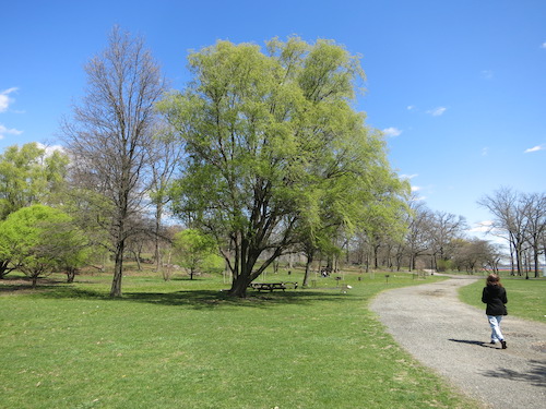
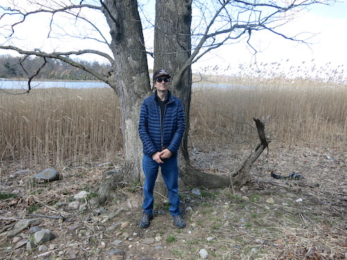
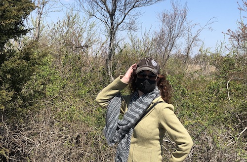
On a sunny April day in the Year of the Pandemic, we headed out past Pelham Bay Park in the Bronx to Orchard Beach and Hunter Island, where we could enjoy open space and paths through the woods while maintaining social distancing.

You never know what you're going to find, or be able to access, when you venture far from home in the time of COVID-19. But the Orchard Beach parking lot was open, though only (said the sign) till 3 PM. So we parked and headed first toward the beach. Despite all my exploration of parks over the past decade of keeping this blog, I'd never been here.

orchard beach hunter island pelham bay bronx new york city parks

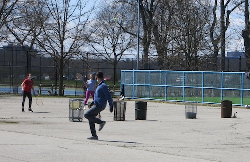
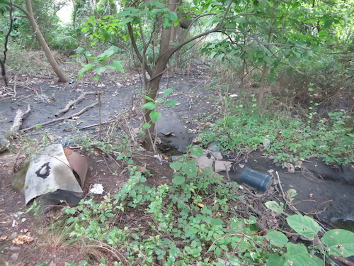
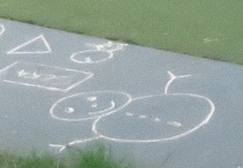
Trash tennis, anyone?

orchard beach hunter island pelham bay bronx new york city parks

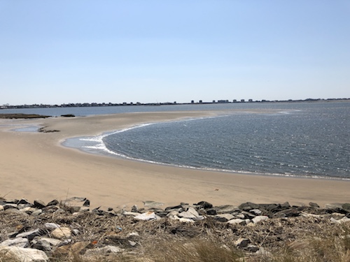
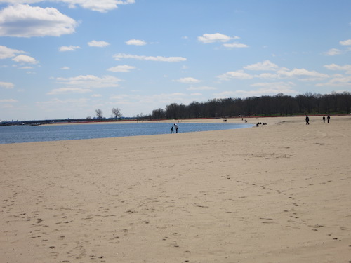
There was plenty of room to keep your distance on the beach. Of course, it wasn't beach weather. We saw only one person dressed for summer.

orchard beach hunter island pelham bay bronx new york city parks

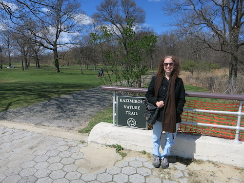
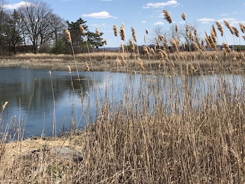
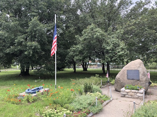
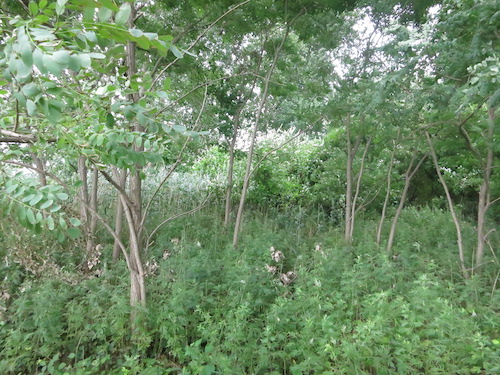
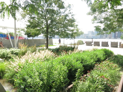
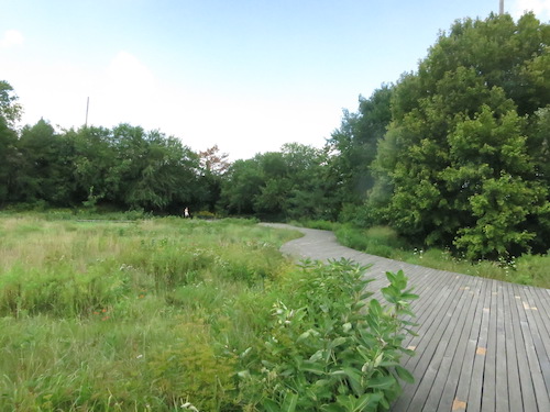
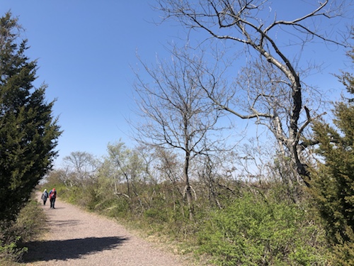
Off the north end of the crescent-shaped beach, the Kazimiroff Nature Trail begins. It's actually the artery for a network of paths that snake through the woods of Hunter Island.

orchard beach hunter island pelham bay bronx new york city parks

The Siwanoy Indians called this place Lap-Haa-Waach King, "place of stringing beads," since they found shells here to string together for ceremony and currency. (Thanks to the Scenes from the Trail blog, whose photos provide a greener, later-spring view, for this information.) In 1654 the Indians sold this onetime island, now the northern end of the peninsula, to Thomas Pell.

John Hunter bought it in 1804, built a mansion and cultivated a garden. Later it was a popular vacation destination for camping. Robert Moses joined it to the mainland when he filled in an adjacent bay to create today's Orchard Beach.

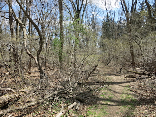
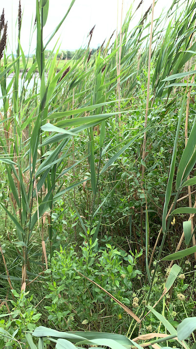
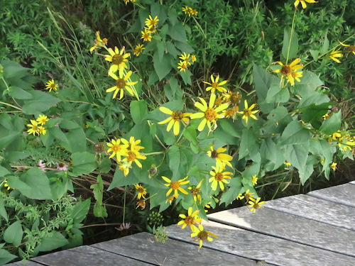
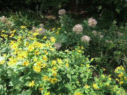
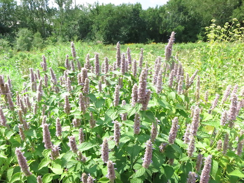
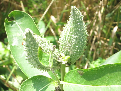
Thanks to the late historian and preservationist Theodore Kazimiroff, the erstwhile isle has returned to nature. Nothing appears to remain from Hunter's habitation except for some of the wider trails that were once woods roads. Other trails are rougher. The paths are marked with red or blue signposts, but it's easiest to just wander the web of walkways. You're on a small peninsula; you really can't get lost.

orchard beach hunter island pelham bay bronx new york city parks

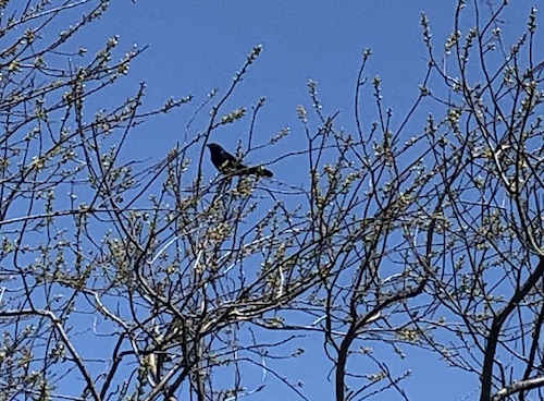
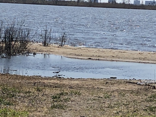
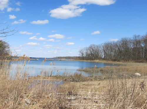
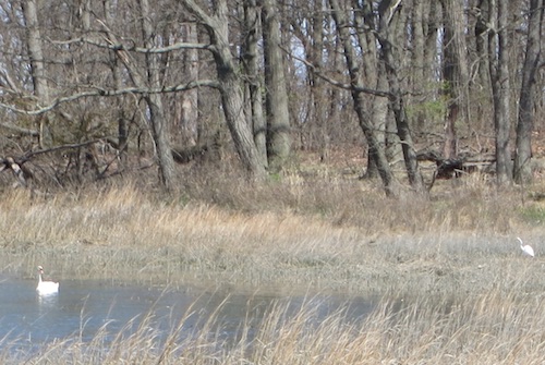
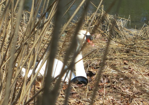
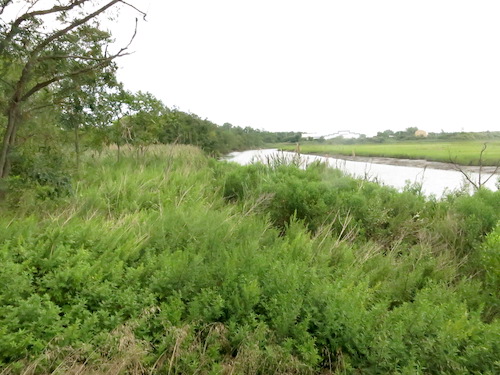
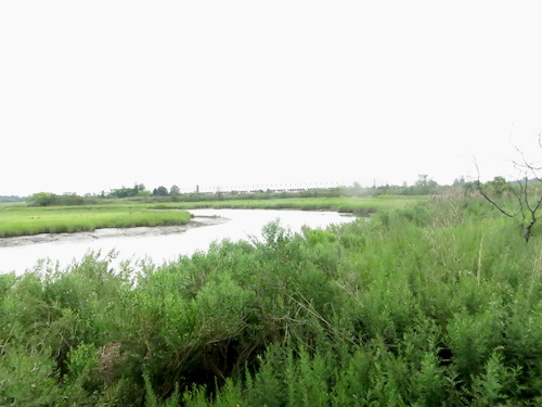
The trails around the edges of the peninsula offer lovely views of Pelham Bay, along with some of its denizens, including swans and egrets.

orchard beach hunter island pelham bay bronx new york city parks

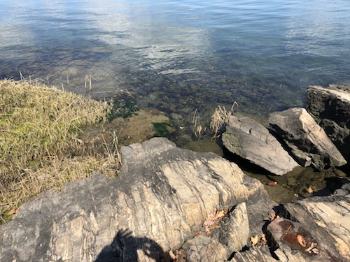
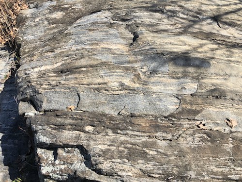
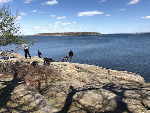
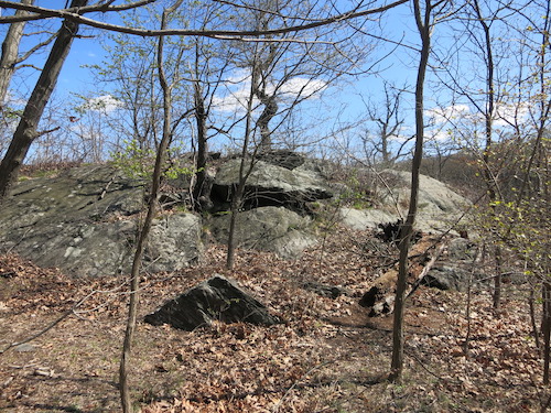
It's well worth trekking to the northern tip, where you'll find sublime striated glacial rock formations.

orchard beach hunter island pelham bay bronx new york city parks

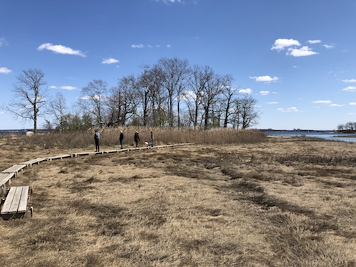
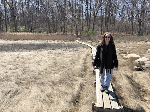
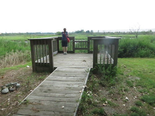
Off the northeastern corner of the peninsula, a fun plank walk takes you across a salt marsh to a tiny rocky island.

orchard beach hunter island pelham bay bronx new york city parks

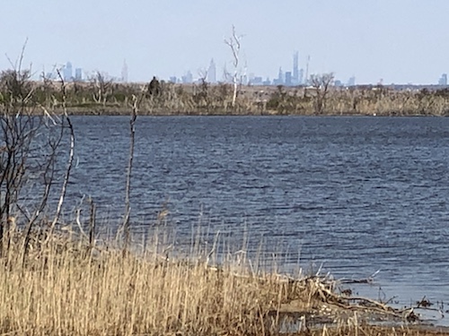
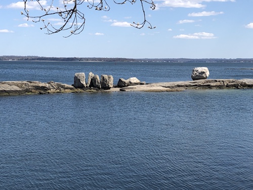
From here you'll find good views of a spit of an isle with dramatic glacial erratics and, further away, green Glen Island, a park in the Westchester town of New Rochelle.

orchard beach hunter island pelham bay bronx new york city parks

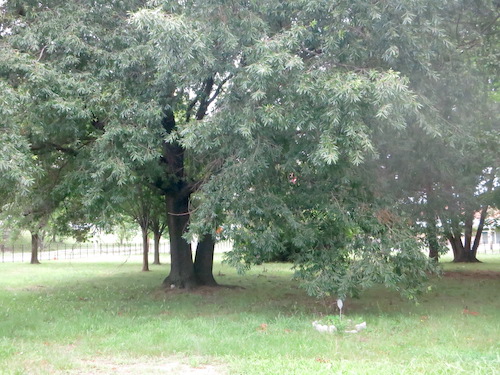
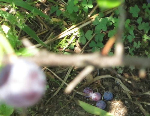
But I'm just as happy in the middle of the woods as I am by the water. A tangle of trees, vines, and fallen leaves left over from autumn, surrounding a not-particularly-remarkable rock outcropping – that's my idea of heaven.

orchard beach hunter island pelham bay bronx new york city parks

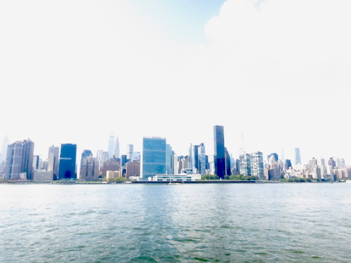
As the pandemic eases and summer comes, our agenda should fill up with more frequent park excursions. There's more to see even at Hunter Island, in fact – the parking lot's purported 3 PM closing time induced us to head back without exploring Twin Island, a small former island connected to Hunter. So we'll see you out there, somewhere in this again-to-be-great city of Gotham.

orchard beach hunter island pelham bay bronx new york city parks

All photos © Jon Sobel, Critical Lens Media