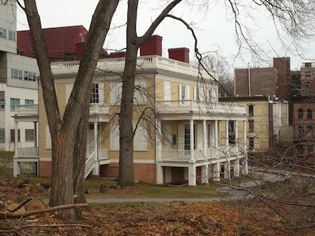
A while back I visited the northern end of St. Nicholas Park, which houses historic Hamilton Grange (Alexander Hamilton's house), but that post didn't actually explore much of the park itself. 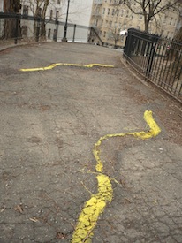 It's time to redress that failing.
St. Nicholas Park is another of those long thin Manhattan parks that extends along one or another of our north-south Avenues. Despite its narrowness it contains a lot of topography. No doubt the un-developable big slope that stretches over part of it is why it's a park in the first place, and not, oh, I don't know, housing.
The entrance from the south isn't too promising if you're looking for an experience of nature. The first thing I saw was the buckled pavement of the path, which instead of being repaired has been marked out with yellow paint.
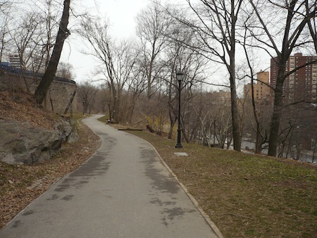
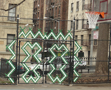 The park's southern section is devoted to athletic facilities, unremarkable except for some interesting colored patterns worked into the fences. But as you head north, it isn't long before the natural terrain asserts itself.
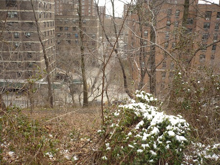
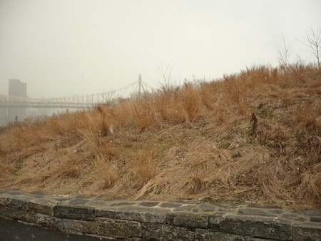
Looking east over snow-dusted scrub and through bare March trees, the steep slope down to St. Nicholas Ave. is pretty evident:
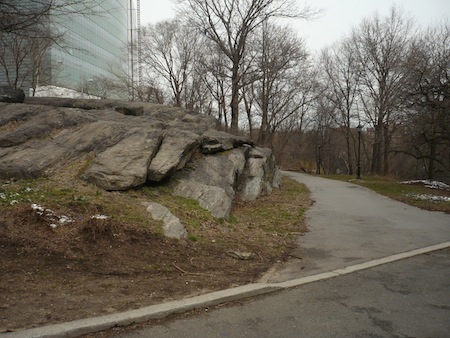
And near the western edge, a big schist formation rises from the pavement and grass.
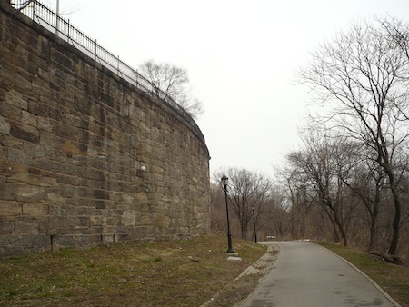
Onward…
…to this impressive wall.
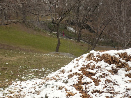
Regarding the next photo, I just liked the pattern the snow made on the vegetation. What do you call this form of vegetation? Is it just assertive grass? Anyway, like other parks cut out of the ridges of Manhattan, St. Nicholas Park teems with stone staircases. The tiny red streak just above the center of the image is a person in a red hooded sweatsuit walking up one of them.
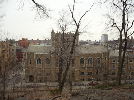
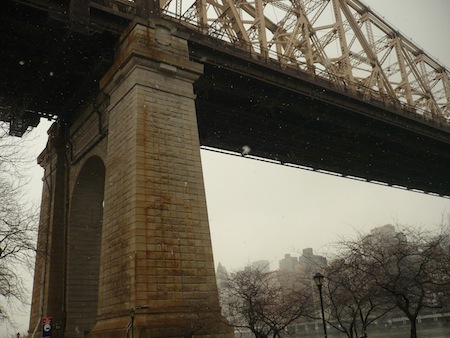
A walk through this park provides views of some pretty monumental architecture, both to the west…
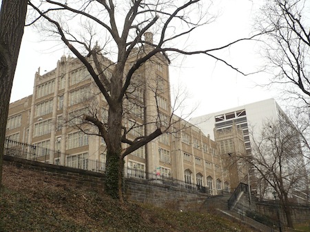
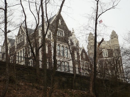
…and to the east. I don't know what any of these buildings are any more than I know what to call that grassy stuff. If you know, please leave a comment!
As I wrote in my post on Hamilton Grange, "The city originally acquired some of the land that's now St. Nicholas Park for the Croton Aqueduct. That land ended up part of a long 23-acre 'ribbon park' that also features a dog run, a playground, sports facilities, 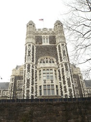 and some Revolutionary War history." That history is notable at the nondescript southern end, where at the Battle of Harlem Heights in 1776 General George Washington took up a position. According to the Parks Department website this spot is known as "The Point of Rocks," though other references to that designation aren't easy to find online. Anyway, now it's a playground.
Construction of the park began in 1906 to a design by Samuel Parsons Jr., who, according to the Cultural Landscape Foundation, "specialized in sites that had steep terrain." Parsons talked about "a high hill made higher, a rugged slope more rugged, a deep valley made deeper, thus invariably following nature's lead."
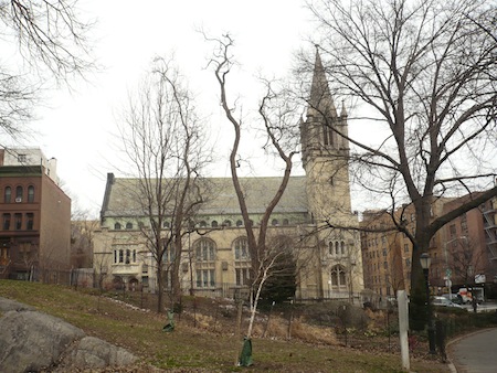
You know you've reached the northern end of nature's lead when you come upon Hamilton Grange, the manor house Hamilton built around 1790 (it was moved here from a nearby site not long ago), and catch sight of the imposing St. James Presbyterian Church.
The park was renovated in 1996 after a "Take Back St. Nicholas Park" community initiative. Presumably they wanted to take it back from neglect and decay, and perhaps from drug dealers or other undesirable human elements. I'm guessing it wasn't from re-emergent Indians or stubborn Dutch farmers. It's clear that some partying still goes on here. But that's true of just about any space where people can find some seclusion or some relief from the claustrophobia of city life.
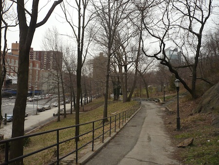
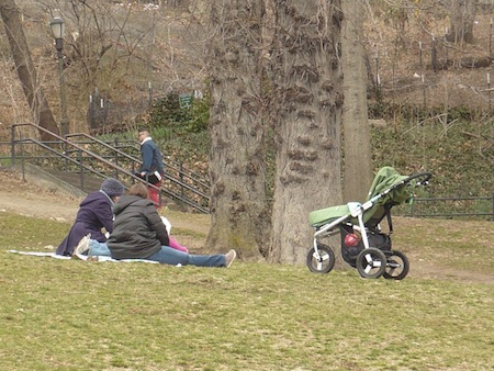
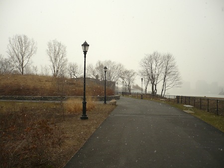
I headed back via the east side path, where I spotted one family unafraid of cold temperatures.
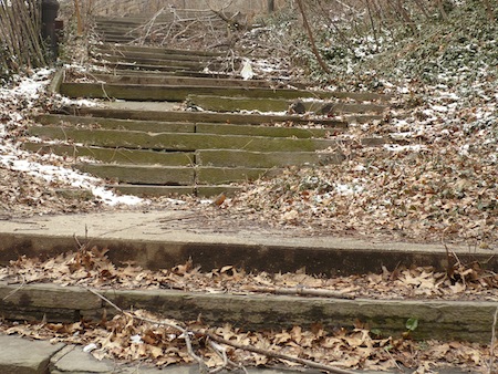
Like the buckled pavement with which I began this narrative, this staircase is evidence that the community hasn't entiredly taken St. Nicholas Park back from an earlier state of decrepitude. Don't worry, I took this picture through a high fence; no one's going to accidentally find themselves trying to navigate this particular bit of "steep terrain."
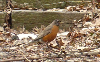
And looking closer, it was precisely here that I spotted another signifier – like those people camped out on the grass – that spring is on the way.
 I've done that. You can visit the park named for him, Tompkins Square Park, once an anarchists' playground, now a peaceful East Village oasis.
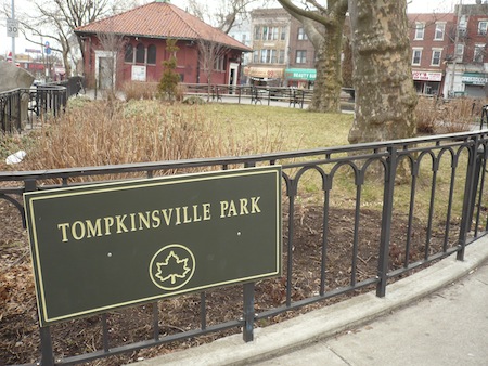
 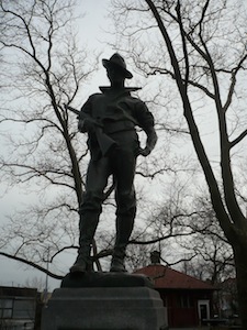 Now, there's the genesis of things, and then there's the physical presence. In Tompkinsville Park, the main item of note is the Hiker statue honoring the local soldiers who fought – not in the First World War, as with so many statues in New York City parks – but in the Spanish-American War and the Philippine-American War, where soldiers trekking through steamy jungles were nicknamed "hikers." This particular cast of Allen G. Newman's sculpture hiked here from another location, and for this I just have to quote the Parks Department website again: