Search This Blog

Showing posts with label Bensonhurst. Show all posts

Saturday, June 27, 2015

Milestone Park

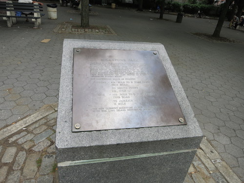
Milestone Park in Bensonhurst, Brooklyn is the site of New York City's oldest surviving milestone, a relic from 1741 now at the Brooklyn Historical Society for safekeeping. A marker explains that the post "stood at the juncture of two colonial roads[,] Kings Highway and Old New Utrecht-Flatbush Road (now 18th Avenue). It also served as a gauge to determine postal rates."
milestone park bensonhurst brooklyn nyc

The milestone indicated distances to "N York Ferry" (8 1/4 or 10 1/2 miles depending on which road you took), "Deny's Ferry" (2 1/2 miles), and Jamaica (15 miles). Today it's all one big fat city, of course. But it's easy to imagine the time when today's Queens neighborhood of Jamaica was a village hours away through farms and forests, and it was a long hike to get a ferry to Manhattan.

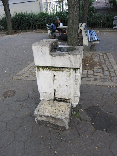
Near the marker an old water fountain caught my eye. I thought it might be some kind of historic post as well – it looks like it could have been here since 1741 too – until I saw a man bend over it and take a drink.
milestone park bensonhurst brooklyn nyc

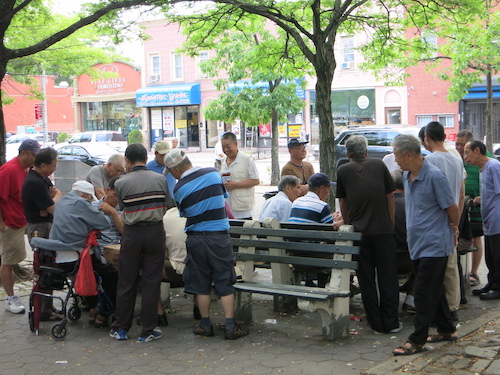
The Chinese immigrants gathered around a gaming table reminded me of Columbus Park in Manhattan, where you can find similar scenes.
milestone park bensonhurst brooklyn nyc

Hexagons, cobblestones. Hexagons, cobblestones.
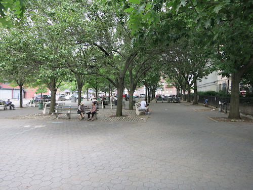
milestone park bensonhurst brooklyn nyc

On the next block: the New Utrecht Reformed Church.
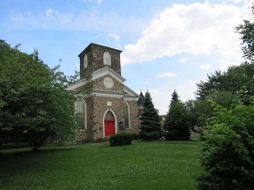
new utrecht reformed church bensonhurst brooklyn nyc

In front of the church, the New Utrecht Liberty Pole "marks the spot over which the American flag first waved in the town of New Utrecht. The original pole was erected by our forefathers at the Evacuation of the British, November 1783, amid the firing of cannons and demonstration of joy."
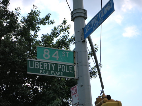
new utrecht liberty pole bensonhurst brooklyn nyc

I only learned why 84th Street also carries the name Liberty Pole Boulevard while doing research after my visit to Milestone Park. While there I failed to notice the tall flagpole topped with an American flag and with the original eagle and weathervane from the 1783 pole. The Friends of Historic New Utrecht website has plenty of photos.

Another historical note: the park is also the site of the 17th century Van Pelt Manor House, which lasted the better part of three centuries before succumbing to history's onward rush. Wikipedia has a capsule history.
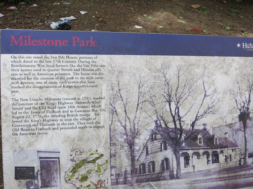
van pelt house bensonhurst brooklyn nyc


Monday, September 9, 2013

Calvert Vaux Park

It's a sad irony that a park bearing one of the most famous names in the history of New York City parks – Calvert Vaux, who was the architectural half of the legendary Olmsted and Vaux partnership that created Central and Prospect Parks – has no architecture, nor even any landscaping to speak of.

Calvert Vaux Park is not a park most of us ever hear about. I only discovered it when exploring Coney Island Creek, which it borders to the south. My circa-1994 Five Borough street atlas calls it Dreier-Offerman Park, a $40 million renovation of which was supposed to be part of a big capital project under Mayor Bloomberg's PlaNYC initiative. It doesn't look like that ever got underway. But the date of the announcement gives a clue: August 14, 2007. Before the crash.
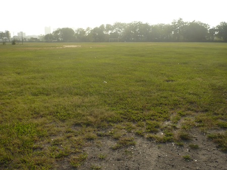
The park's featurelessness made me wonder what it's used for now. Coincidentally, the only mention of Calvert Vaux Park I'd ever seen in the news came just a few days ago, when a man was killed there by his own remote-controlled model helicopter. That at least provided one answer to the question: What do people do here?

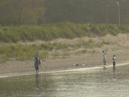
In fact, model aircraft fields are officially noted on the Parks Department web page for Calvert Vaux. We visited several days before the fatal accident. No one was flying 40-pound model helicopters just then. Practically no one was there at all, in fact. As we entered, four young men carrying fishing rods were riding their bicycles out. That was pretty much it.

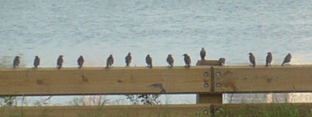
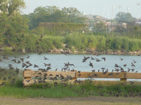
We did see a great many migratory birds, though none close enough to identify. Not that I could have identified them close up, either – I'm terrible at birdwatching. It's not just ignorance, it's something occult. Show me a bird close enough that I can get a good, clear photo of it. Then watch me try to find that bird in any of my several bird books. It's never there. Never. I've begun to think I have a knack for discovering new species.

Anyway, I can at least identify these creatures as birds:

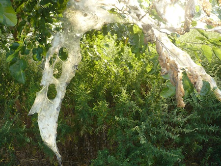
I'm not sure about these wormy things, though. What will they be when they bust out of their webby nest?

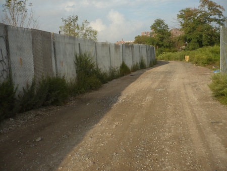
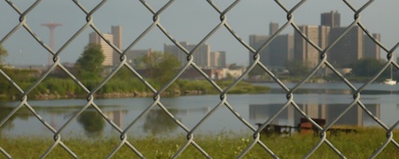
At first, as with Kaiser Park across the creek, we weren't at all sure we'd get a good look at the water. Though the view through the fence did at least let us orient ourselves: Note the famous Coney Island Parachute Jump to the far left.

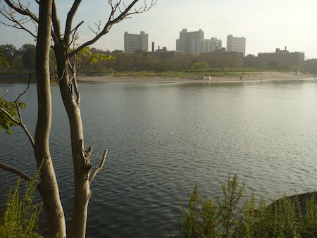
But after a while things began to open up.

Zooming in provided a look at the beach we discovered off Kaiser Park across the bay/creek.

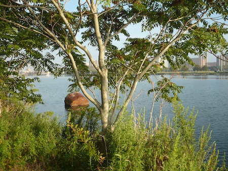
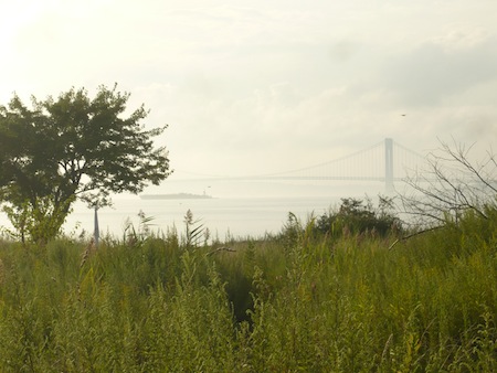
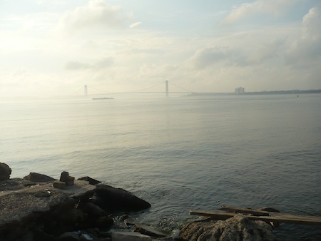
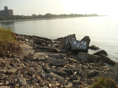
After a while, you come to a stretch where you can stomp your way through the tall grass to the water's edge. There you're greeted by a typically urban combination of natural beauty and human scribbles. That's the Verrazano Bridge in the hazy distance.

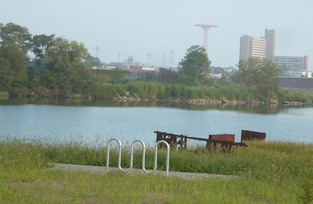
Glaringly incongruous amid these undeveloped acres is this humble but obviously modern bicycle rack.

Is it a promise, or at least a hint, of things to come? Will Calvert Vaux Park ever become one of the "jewels of our park system" Mayor Bloomberg envisioned six years ago? A Walk in the Park had a pretty sour attitude about the prospect back in June of last year. But greater miracles have happened.