Search This Blog

Showing posts with label salt marsh. Show all posts

Saturday, July 21, 2018

Marine Park Salt Marsh Nature Trail

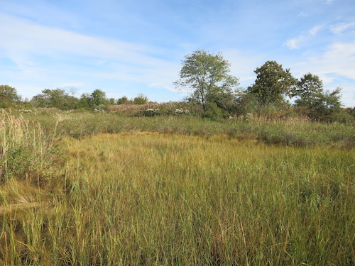
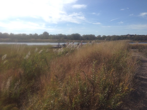
One of NYC's most magical natural areas is all but unknown to most residents of the city's cosmopolitan core. The nature trail through the Marine Park Salt Marsh in southern Brooklyn takes you through an environment as different from Manhattan's urban hubbub as you can imagine.
marine park salt marsh nature trail brooklyn nyc

Restored salt marshes can be found elsewhere in the city, for example on Randall's Island/Ward's Island and in Inwood Hill Park. The city even has a Salt Marsh Alliance, headquartered at the on-site Nature Center here. But nowhere else in the five boroughs, that I know of, can you take a lengthy walk through a large salt marsh environment.
marine park salt marsh nature trail brooklyn nyc

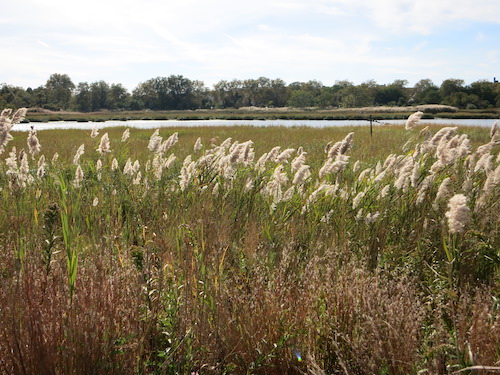
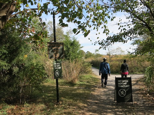
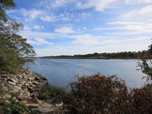
There are watery vistas to be seen from the Marine Park Salt Marsh Nature Trail. After all, this is New York City, with its purported 578 miles of coastline. (I don't disbelieve that figure, but I've never pinned down who came up with it or how it was derived.)
marine park salt marsh nature trail brooklyn nyc

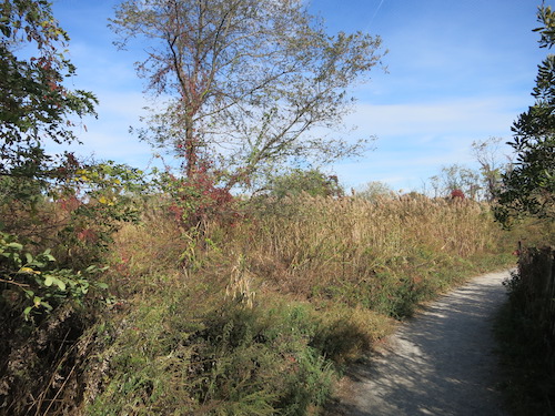
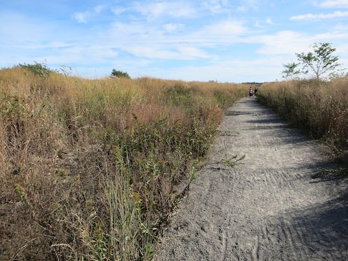
Mostly, though, you're ensconced in flora as you trek along the sandy trail.
marine park salt marsh nature trail brooklyn nyc

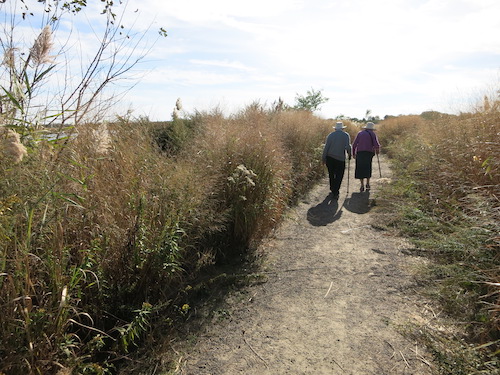
Exertion-wise, it's an easy hike.

marine park salt marsh nature trail brooklyn nyc

But bring water, sunscreen, and a hat. You'll be exposed to the elements without a break. The sunshine can be roasting-hot even in the fall, as on this October day.

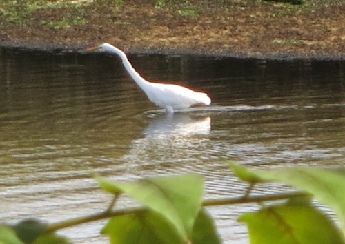
Birdwatchers can rejoice at the edges of the water.
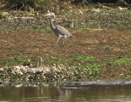
marine park salt marsh nature trail brooklyn nyc

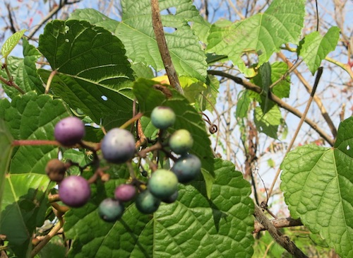
And if you look hard enough you can find some color amid the grasslands.
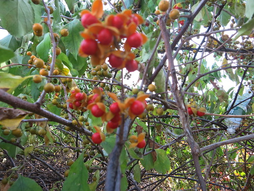
marine park salt marsh nature trail brooklyn nyc

The southern spur of the salt marsh grounds can get very muddy. We didn't explore too far down that way.

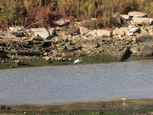
marine park salt marsh nature trail brooklyn nyc

This dog and owner were more adventurous.
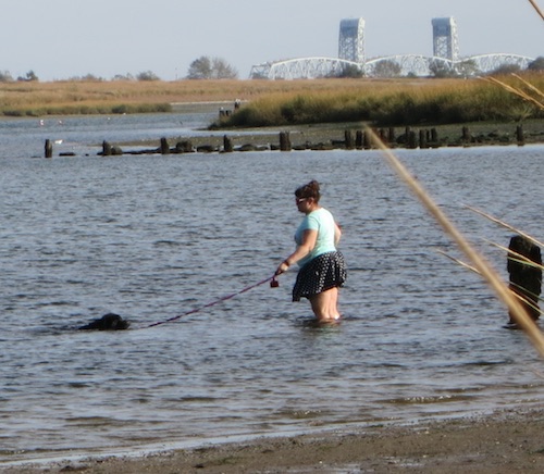
marine park salt marsh nature trail brooklyn nyc

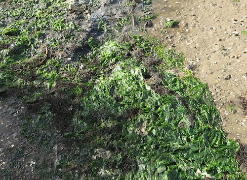
Perhaps there's an opportunity here for a venturesome seaweed-farming entrepreneur.
marine park salt marsh nature trail brooklyn nyc

The Salt Marsh Alliance website tells us that over the decades, more than three quarters of Jamaica Bay's original salt marsh has been filled – that is, destroyed – to make way for homes and industry. The Marine Park Salt Marsh, once "a wasteland filled with trash and abandoned cars," is now "restored to its natural condition – proof that a rare and fragile ecosystem can safely exist" even adjacent to an urban one.
marine park salt marsh nature trail brooklyn nyc

Located in the middle of the inlet is Mau Mau Island, which you can see from the Nature Trail. It has an interesting history. Untapped Cities explains that this man-made isle was a trash dump. When Robert Moses covered it with sand, then asphalt, he unintentionally initiated the gradual natural restoration of a piece of the Jamaica Bay coast's grassland habitat.

Maybe more people from outside the neighborhood would visit if the subway came down this far. But Marine Park's relative isolation is probably a blessing for the salt marsh environment, and for the pristine atmosphere you feel on its lonesome walkways.

(However, you can get to Mau Mau Island via the A Train and a boat if you get a gang together, dress in costumes, and join up with the Battle for Mau Mau Island flotilla. But that's a story from an alternate universe.)
marine park salt marsh nature trail brooklyn nyc

All photos © Jon Sobel, Critical Lens Media

Monday, July 18, 2016

Randall's Island Park

In October 2014 I explored the southern part of what's now (more or less) known as Randall's Island. It comprises the formerly separate Randall's (or Randalls) and Ward's (or Wards) Island land masses, sprawling underneath the multi-span Robert F. Kennedy Bridge.

randalls island wards island nycMany people, especially old-timers, continue to use the bridge's old name, the Triborough, which gives you an idea of Randall's Island's location: at the intersection of three of New York City's boroughs. The Bronx lies to the north, over a narrow channel called the Bronx Kill. Queens stretches to the east, over the rushing waters of Hell Gate. To the west is Manhattan, over an arm of the Harlem River.

On July 4 we headed to the north end of the island for a salt marsh tour advertised by the Parks Department. It was the perfect excuse for a trip to see the areas I didn't get to in my previous post. That time, I'd reached the island by walking over the pedestrian Ward's Island Bridge from Manhattan at 103rd Street. This time, since we were aiming at the far north end, we took the M35 bus from Lexington Avenue and 125th Street.

The bus dropped us near the arched Hell Gate Bridge and Railroad Viaduct, which will be 100 years old in 1917. The Parks Department has recently created a walking and bicycle path underneath the span called the Hell Gate Pathway.

hell gate pathway randalls island wards island nyc

(There's nothing devilish about Hell Gate, except the dangerous currents. The name comes from the Dutch hellegat, meaning "bright strait" or "clear opening" – although, funnily enough, when I enter "hellegat" into Google Translate and tell it to translate from the Dutch, it comes up with "hellhole." Go figure.)

As it happened, there'd been a mixup at the Parks Department, and at first no one showed up to give the salt marsh tour, leaving about a dozen urban explorers in the lurch. But one intrepid visitor called the department and shortly thereafter, the Deputy Administrator of Randall's Island Park arrived in an electric cart to save the day.

One thing he explained that I found useful were the island's confusing names. Before the City obliterated the channel separating the two islands with landfill, the northern segment was Randall's, the southern Ward's. Now the Parks Department is normalizing the properties to be called Randall's Island overall, with just one numbering system for the dozens of ballfields spread over the expanse.

randalls island wards island nyc

The Bronx Kill Salt Marsh we'd come to see lies on the northern shoreline, with ballfields just across the path.

randalls island wards island bronx kill salt marsh nyc

The City constructed the marsh in 2008-2009 to compensate for habitat lost in Manhattan's Riverside Park when a Greenway link for bicyclists and pedestrians was constructed projecting over the Hudson River. New York City requires these sorts of environmental mitigations. The results can be surprisingly unrelated to the causes.

randalls island wards island bronx kill salt marsh nyc

Just west of the Bronx crossing, you can hoof it down to the Kill, look across the water and see railroad cars lined up on a spur of track, waiting to take supplies to and from the New York Post and Wall Street Journal printing plant.

randalls island wards island bronx kill salt marsh nyc

To the east, people fish and picnic in the reconstructed Sunken Meadow section of the park, which the City opened in 2010.

randalls island wards island bronx kill sunken meadow picnic area nyc

The coastline here provides a good view of North Brother Island (pictured below) and South Brother Island. North Brother Island's hospital buildings, where Typhoid Mary was confined for many years, are now in ruins and mostly concealed by vegetation, but the smokestacks still protrude into the sky. Now off-limits to most visitors, it's maintained as a bird refuge and a "Forever Wild" site.

randalls island wards island bronx kill sunken meadow north brother island nyc
North Brother Island

Rounding the northeast corner of the island and continuing south, it's easy to see how Hell Gate got its reputation as a rough spot for navigation.

randalls island wards island bronx hell gate nyc
The rough waters of Hell Gate

Hell Gate Bridge was the longest steel-arch bridge in the world when it opened 100 years ago, in 1916. It current paint job – a unique color called "Hell Gate Red" – comes from a 1990s refurbishing. (I got closer to the bridge on my earlier visit.)

randalls island wards island bronx hell gate nyc
Looking south to Hell Gate Bridge

After the salt marsh tour, we headed back to the Viaduct for some shade. The steel beams make a geometric wonderland above. I don't know if this is Hell Gate Red, though. It's more of a lavender.

randalls island wards island bronx Hell Gate Bridge and Railroad Viaduct nyc

We took a quick walk through the Little Hell Gate Salt Marsh on the west side of the island, roughly where a channel used to separate Ward's and Randall's Islands. (More photos of this marsh are at my earlier post.)

randalls island wards island bronx nyc

Flowers bloomed and birds did their thing in the Native Plant Garden.

randalls island wards island bronx nyc

randalls island wards island bronx nyc
Juvenile American Robin on Randall's Island

It's a nice walk down to the Ward's Island Bridge along the west side of the island, which we crossed to return to Manhattan.

randalls island wards island bronx nyc

There's a great deal more to Randall's Island/Ward's Island than concerts at Icahn Stadium and grassy ballfields. And now you can walk there from The Bronx as well as from Manhattan and Queens. Or take a bus. Still never been there? You've got fewer and fewer excuses.

All photos © Jon Sobel, Critical Lens Media