Watching The Addams Family reruns back in the '70s, I used to think "Pugsley" a funny name. No doubt it was chosen – over the too sexual-sounding "Pubert," as it happens – for its hint of humor. However, as far as I know, there's nothing especially funny about the Pugsley family that is today memorialized by Pugsley Creek and Pugsley Creek Park in the Soundview section of the Bronx, just north of Clason Point Park.
I suppose back then the Pugsleys might have been the "authorities" and had a sign much like this one, which greets visitors to the neighborhood with a strange sort of welcome: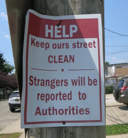
In the 1800s the Pugsleys used the creek to bring supplies to their farm. (The waterway ran further inland back then.) What was once Cromwell's Creek – after John Cromwell (a cousin of Lord Protector Oliver Cromwell) who had settled neighboring Castle Hill Neck around 1650 – became known as the more lighthearted, but sadly less alliterative, Pugsley Creek.
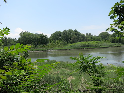
Of course the history goes much further back than the Lord Protector's time over in the mother country. The Parks Department website informs us that archaeologists discovered "primitive" stone tools near the head of the creek, tools presumably used by the Siwanoy Indians in the workshop mentioned in this 2001 NYC School Construction Authority report. The Siwanoy village was near the tip of Castle Hill Neck.
(Note: "Siwanoy" is likely just a loose term that European settlers came to apply to Indigenous populations of the area. There's no definitive evidence of a distinct group by that name. So what did the villagers call themselves? Maybe just "us over here." I suppose we'll never know.)
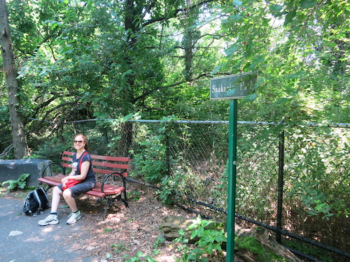
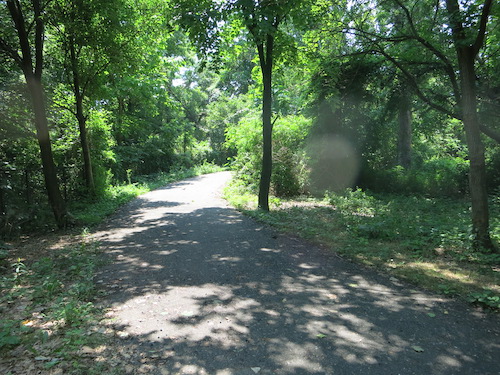
The entrance to the park from the south is marked by a sign denoting Snakapins Path. (Snakapins was the Indigenous people's name for nearby Clason's Point or for their settlement there.) While it may have once been a pathway used by the "Siwanoy," today's it's a pleasant and uncrowded bikeway. We encountered only one party of bikers and one or two pedestrians during our hike. Along the way the path morphs into the Wappinger Trail, named for the Indigenous people of today's Westchester.
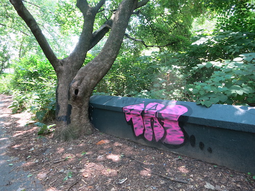
Someone apparently wants to lay a claim to the place.
The path intersects the water near the creek's terminus.
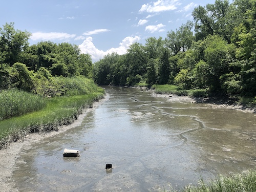
The water level was very low here on this hot July day. I suppose this stretch didn't contain any fish because we saw no water birds here. (Stay tuned for the next post, though.)
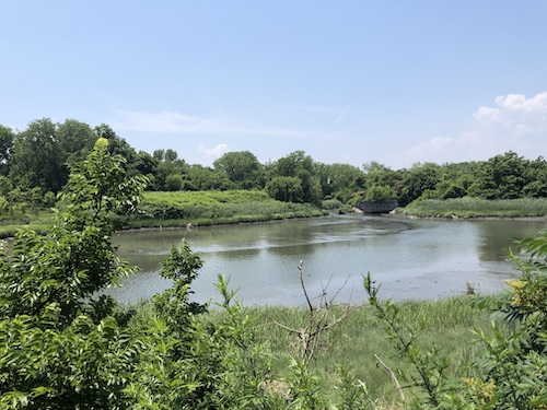
The path bends around the creek and continues along its opposite side into Castle Hill Point Park, the subject of the next post.
All photos © Critical Lens Media

No comments:
Post a Comment